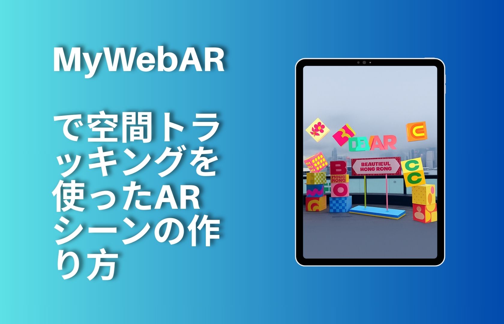
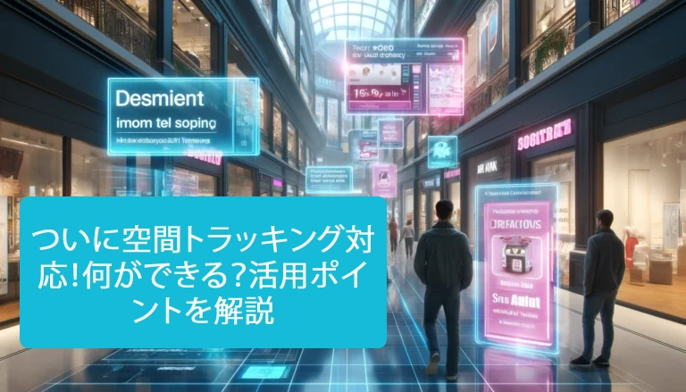
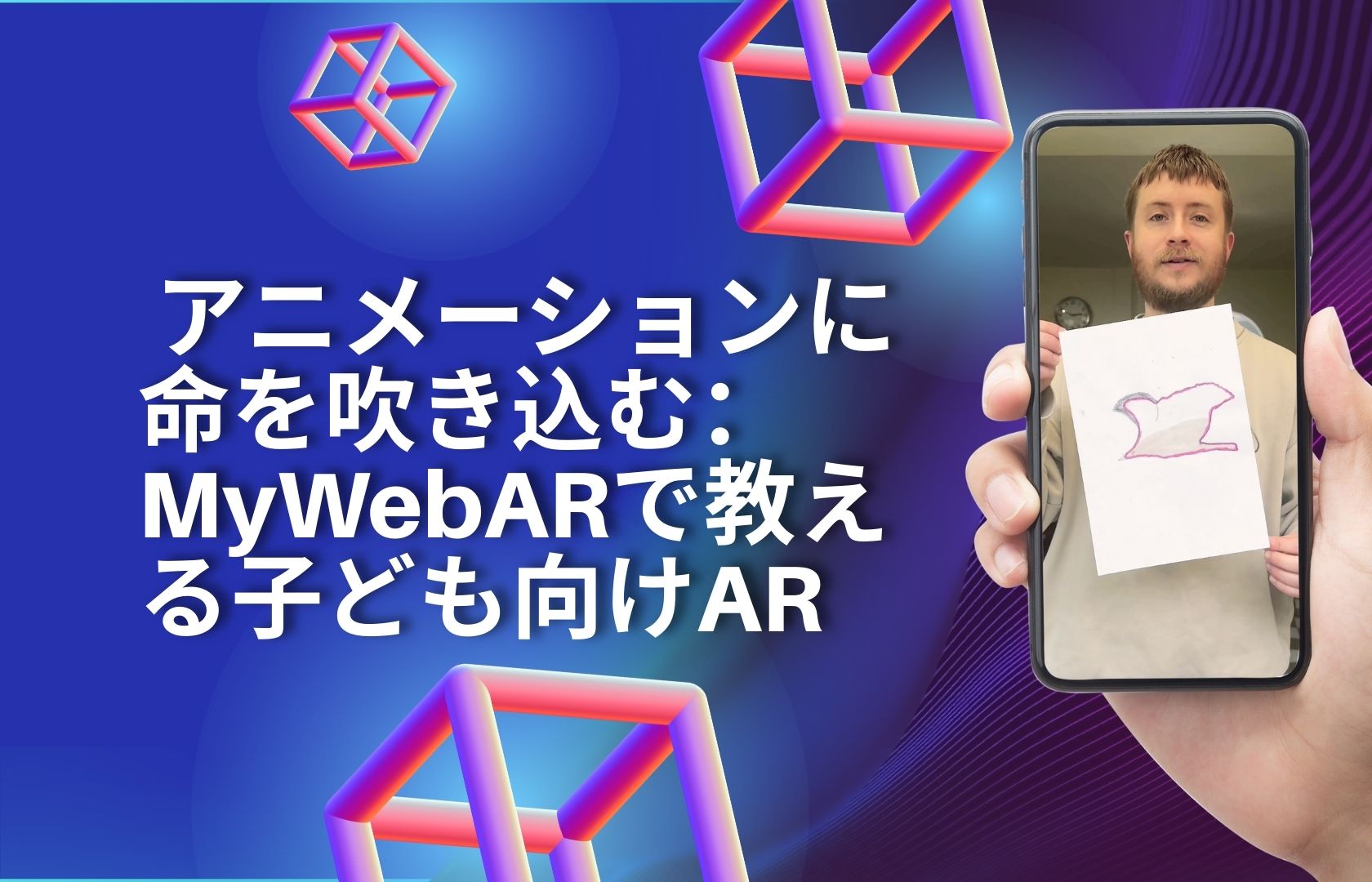
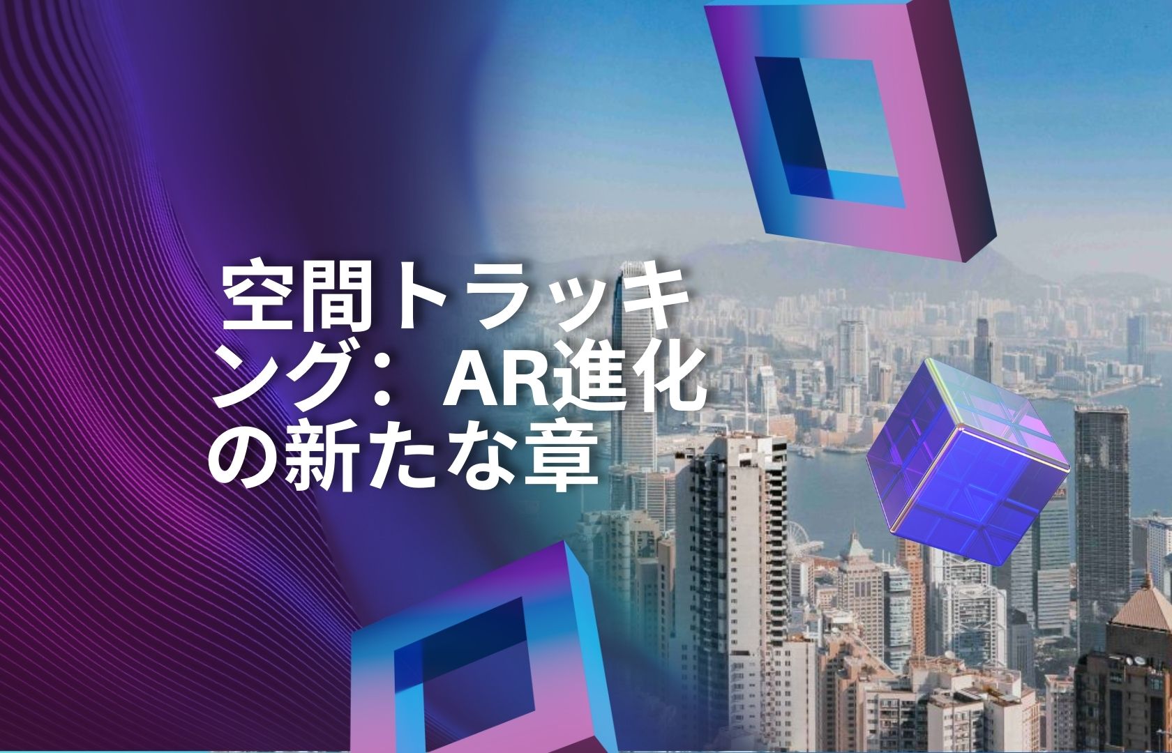
In this article, we’re diving into spatial tracking on the MyWebAR platform. We launched this tracking type a year ago, and today it has become an essential tool for building AR experiences — simple, versatile, and visually powerful.
Today, we’re transforming the beautiful city of Hong Kong using spatial tracking.
In a place where ultramodern skyscrapers meet colonial architecture and lush green hills, we’re using augmented reality to bring a new layer of meaning to familiar spaces. Spatial tracking turns the entire city into an open stage — with no limitations and no extra hardware.
Over the past year, spatial tracking has become one of the most beloved features on MyWebAR, alongside 3D Object Tracking. If you haven’t seen it yet, check out our previous articles:
Devar launches the world’s first 3D Object Tracking
9 ways to use 3D Object Tracking in your AR projects
What is Spatial Tracking — and how is it different?
Spatial tracking allows you to anchor virtual content not to flat images or printed markers, but to real-world volumetric objects — buildings, sculptures, facades, or architectural structures. This is especially important when working with large-scale environments or outdoor spaces.
Unlike 3D Object Tracking, which is ideal for compact items, spatial tracking is designed for full-scale, real-world objects — entire buildings, public installations, and urban spaces. All you need is a camera and the physical environment around you.
And on MyWebAR, it all works directly in the browser:
– No apps required
– No extra setup
– Just scan → place → publish
Where Spatial Tracking really shines
This technology has already proven its value in projects across the globe. Here are some of the areas where it’s making the biggest impact:
- Urban spaces — Create temporary or permanent AR installations integrated into buildings, streets, or infrastructure. Offer navigation without needing physical signs.
- Tourism and culture — Deliver interactive guides, reconstructions, or animations directly on top of real-world landmarks.
- Historical sites — Enrich museum trails or open-air heritage locations with immersive storytelling in situ.
- Architecture and real estate — Visualize future buildings on-site, bring blueprints to life at scale for clients and investors.
- Art and creativity — Build spatial AR sculptures, digital open-air galleries, and public art accessible only through AR.
- Business and industry — Present large-scale machinery, deliver AR-powered manuals, or run remote demos in real working environments.
The future Is already here
Spatial tracking is more than a technical feature. It’s a new way of interacting with the world around us — one where digital experiences seamlessly merge with physical spaces. Content doesn’t just float in the air anymore — it belongs exactly where it’s meant to be, at full scale and with real context.
At MyWebAR, we’re building the tools to make this future accessible to everyone.
In our next article, we’ll revisit spatial tracking — and more importantly, we’ll show you how to create your own spatial tracking projects step by step on MyWebAR.
Coming soon! Make sure to subscribe to our blog updates so you don’t miss it.